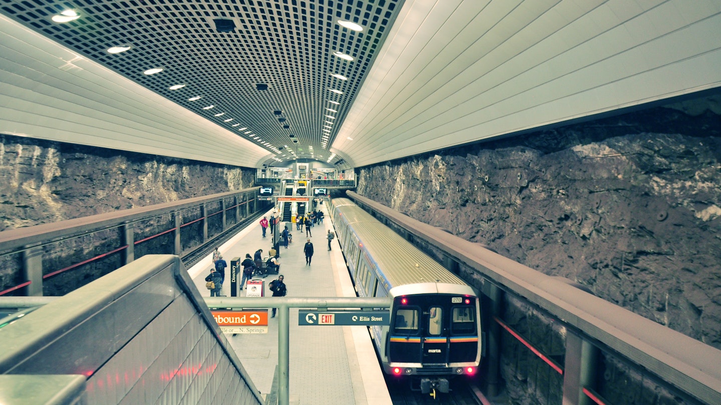
Atlanta has overlooked calls for a more comprehensive public transit system that not only better connects its neighborhoods but also extends into the vast metropolitan area. Consequently, visitors to the city may need to adopt creative transportation solutions. Utilizing a combination of trains, buses, and the occasional Uber or taxi can ensure you see all that Atlanta has to offer. For those seeking maximum flexibility, renting a vehicle may be the best option.
Stretch Your Budget by Taking MARTA
MARTA’s trains extend north, south, east, and west from downtown, reaching key neighborhoods such as Atlanta’s West End, Midtown, Buckhead, and Inman Park. However, these train routes do not adequately cover all parts of the neighborhoods, with some areas like Old 4th Ward, Virginia Highland, and Blandtown lacking direct train access. Therefore, combining MARTA’s train system with its bus services, renting an e-bike, or using rideshare options is the most economical and efficient way to navigate the city.

MARTA employs a Breeze card system for fare payment. A Breeze card costs $2, plus the fare you load for transport. One-way fares are $2.50 for either bus or train, allowing up to four transfers within a three-hour window.
Upon arriving at a MARTA stop, consider combining your travel with a rental e-bike or scooter to reach your final destination. Companies like Lime and Bird provide e-bikes and scooters across 200 locations throughout the city, enabling easy access for visitors. Typically, the rental starts with a base fare (for example, a recent trip began with a $1 base fee) followed by a per-minute charge (around $0.39).
Check Off Major Tourist Attractions with the Atlanta Streetcar
For those eager to visit major attractions in downtown Atlanta and the Sweet Auburn neighborhoods, the Atlanta Streetcar serves as the most convenient transportation option. Starting at the Centennial Olympic Park stop places you adjacent to highlights such as the World of Coca-Cola, the Georgia Aquarium, and the National Center for Civil and Human Rights. For only $1 one way or $3 for an all-day pass, riders can enjoy a 2.7-mile loop that also passes near the Sweet Auburn Market and the Martin Luther King Jr. National Historic Park. Furthermore, the streetcar connects to the Peachtree Center subway station for added convenience.
Explore Neighborhoods by Biking the BeltLine
The Atlanta BeltLine offers an excellent opportunity to traverse some of the city’s most vibrant neighborhoods while enjoying a closer look at local culture and attractions. This scenic trail follows an old rail line, stretching a total of 22 miles around Atlanta. If time is limited, prioritize the Southside and Eastside trails, which provide straightforward access to various restaurants and shops.
Additionally, Atlanta has designated bike lanes on several streets throughout the city. The cycle track along Martin Luther King Jr. Drive from Northside Drive to James P. Brawley Drive is particularly well-protected with a concrete median, while most lanes operate parallel to vehicle traffic.
Save Car Rides for Nature Hikes and Dining Districts
While many of Atlanta’s suburbs boast rich dining and hiking options, a vehicle is often the most practical mode of transport for these excursions. Areas such as downtown Marietta and Chamblee along Buford Highway are easier to navigate by car if you plan on exploring local gastronomy districts.
However, it’s important to remain mindful of Atlanta’s notorious traffic. The busiest sections of Interstates 75 and 85, particularly those passing through downtown, can create significant delays. To dodge heavy traffic, consider carpooling or driving an electric vehicle to take advantage of the High Occupancy Vehicle (HOV) lane, which typically operates more smoothly during congested periods. Note that this lane, located on I-75, I-85, and I-20, requires awareness of changes, such as the transition to a Peach Pass lane north of downtown.
Given the predominance of vehicle traffic, ample parking exists at various outdoor recreation spots in metro Atlanta, including the Chattahoochee National Recreation Area, Arabia Mountain, and Stone Mountain.


