Exploring Panama City: A Comprehensive Guide
Bound by the Panama Canal to the west, the Pacific Ocean to the south, and a myriad of protected rainforests to the north, Panama City has evolved on an eastward and upward trajectory, mushrooming along the shore in a sprawl of jagged glass skyscrapers.
Overhauling Panama City’s perpetually congested transport network has long been a priority for planners. As a result, with billions of dollars in investments, Panama City now boasts the finest mass transit system in Central America, making it easier than ever to get around this burgeoning metropolis.

Explore Neighborhoods on Foot
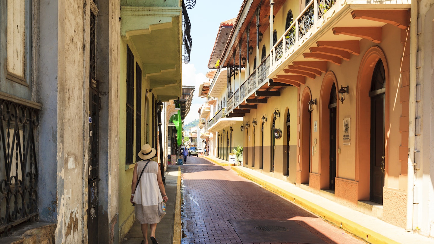
Panama City presents challenges for walkers due to its confusing streets and poor sidewalk conditions. However, walking remains the best way to experience many parts of the city. Most neighborhoods are compact enough for exploration on foot.
Take a Walking Tour of Panama City’s Best Areas
Walking is the only way to truly feel a city’s heartbeat. Nowhere is this more evident than in the gritty, working-class districts of Santa Ana and Calidonia, bustling with chaos and street life.
Santa Ana is known for Parque Santa Ana, a lively plaza filled with salespeople and a pedestrianized street, La Peatonal, filled with thrifty shops and food options.
The adventurous can explore Bajada Salsipuedes, a narrow alleyway brimming with market stalls. Continuing east leads to Calidonia, where vibrant street life and impromptu market stalls reign, filled with the aroma of local cuisine and music.
Tips for Walking in Panama City
Dress for the heat, carry water, and have a decent map. In Casco Viejo, public transport is unnecessary, whereas caution is advised when wandering into El Chorrillo, known for safety concerns.
The expansive views along the Cinta Costera should not be missed, especially during Sunday evenings. For vibrant nightlife, visit El Cangrejo and the leafy former Canal Zone township of Balboa.
Using Public Transport in Panama City
You’ll need a rechargeable Metro card to access the city’s Metrobuses and trains. If arriving at Tocumen International Airport, these cards can be acquired at various locations throughout the city.
Navigate the Metro Trains
The Metro train system, inaugurated in 2014, efficiently connects various districts, alleviating traffic jams. It operates crucial lines that link you to major city areas and the Albrook bus station.
The Metro fares are economical, making it the best choice for swift travel throughout Panama City.
Access Every Inch of the City with Metrobuses
Modern first-class Metrobuses have replaced older systems in Panama City. These buses operate efficiently on over 140 routes, providing residents and visitors with extensive transit options across the city.
Additional Transportation Considerations
Cycling in Panama City can be perilous due to aggressive drivers, but the Cinta Costera offers a dedicated lane for cyclists and rollerbladers. For a safe cycling experience, opt for weekends when traffic is lighter.
Driving Considerations
Driving in Panama City is often challenging due to aggressive motorists and chronic congestion. Renting a car can be frustrating, so it is generally advisable to rely on public transport.

Taxis and Ride-Sharing Services
Taxis in Panama City are widely available, yet often overpriced compared to the efficient public transport options. Ride-sharing services like Uber are prevalent, providing a safer and generally cheaper alternative to traditional taxis.
Accessibility for All
Unfortunately, Panama City is not fully accessible for individuals with disabilities. However, major transportation hubs and some public transport systems are designed to accommodate those who need assistance.
While the situation is gradually improving, travelers should plan accordingly and be prepared for some limitations.


