Discover the Best Hiking Trails in Vail, Colorado
Though Vail is best known for its expertly groomed ski terrain and its snow-covered Bavarian-style alpine villages, this mountain town along Gore Creek in the Colorado Rockies is also home to some incredible hiking trails.
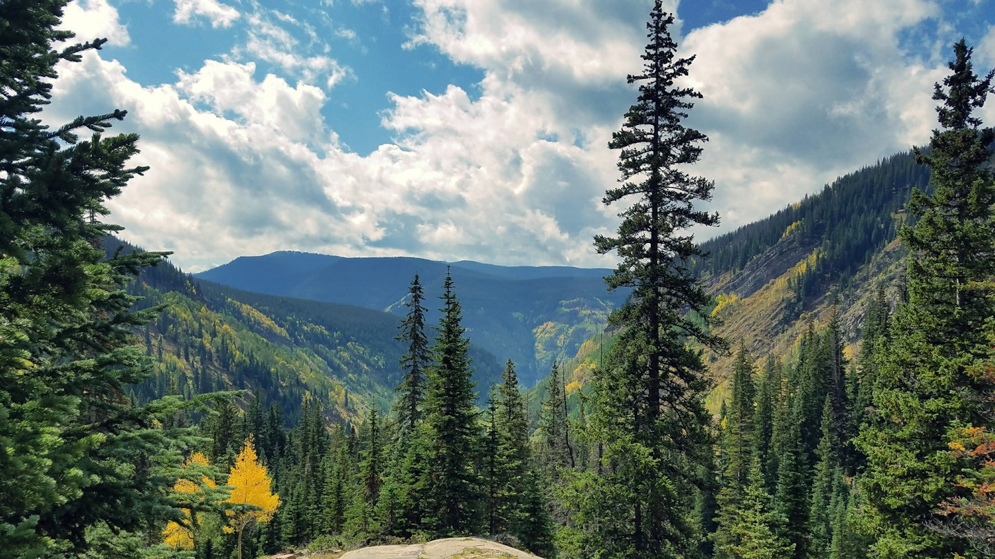
Vail’s hiking trails give travelers a fantastic opportunity to stretch their legs, breathe the fresh mountain air, and reconnect with nature. Moreover, the Vail Valley’s varied routes are a feast for the senses no matter the season. They are dotted with colorful wildflower blooms in summer, golden yellow aspens in fall, and glittering snow and icicles in winter. Below are some of the best hikes in the Vail Valley for every traveler.
Booth Falls
Best Hike with Waterfalls
9 miles (14.5 km) round trip, 5-6 hours, difficult
This popular out-and-back trail follows Booth Creek to Booth Lake, with a stop at the picturesque Booth Falls along the way. The trail begins just off I-70 in East Vail and climbs steeply for the first mile, then eases into a more gradual ascent for the remainder. The route meanders through aspen groves, conifer forests, and meadows adorned with wildflowers in July and August.
The trail reaches the waterfall about two miles in and continues for approximately three miles to Booth Lake, surrounded by the majestic peaks of the Gore Range. All told, the trail climbs over 3000ft in elevation to 11,480ft, making it crucial to acclimatize to Vail’s altitude.
This challenging hike is best suited for travelers who can handle the elevation gain. Therefore, be sure to bring plenty of water, take frequent breaks, and consider using hiking poles to navigate the steep sections easily.
Gore Valley Trail
Best Hike for Accessibility
12 miles (19 km) one way, variable, easy
This easy-going paved trail winds along Gore Creek through Vail’s core village areas. It serves as a popular path for walking, biking, jogging, rollerblading, and other leisurely activities right in the heart of town.
Many people access the trail from behind local hotels, making it convenient for an evening outing. It’s an ideal connector for exploring Vail or getting in some exercise while enjoying views of Vail’s charming European-inspired architecture and the scenic creek.

Lost Lake Trail
Best for Families
7.5 miles (12 km) round trip, 3-4 hours, easy
This mellow trail caters to beginners and families thanks to its gradual climb and stunning scenery. The route has both east and west trailheads, but most hikers start on the west side and trek eastward toward Lost Lake. Though the road to the trailhead is unpaved and bumpy, a 4×4 vehicle can make the journey easier.
The trail passes through aspen groves and lodgepole pines along a scenic ridgeline, ascending gradually before leading down to the lake. This area is perfect for a relaxing picnic with views of the mountains reflected in the serene waters. Additionally, camping is allowed, provided hikers set up their tents at least 200ft from the lake.
Bighorn Creek Trail
Best for Fall Hiking
7 miles (11 km) round trip, 3-4 hours, difficult
For breathtaking views of fall foliage, head to Bighorn Creek Trail, nestled among the golden yellow aspens and dark green fir and spruce trees of the Eagles Nest Wilderness area. Although the steep elevation gain of over 2000ft makes it a challenge, the abundant scenery will keep your spirits high.
On the trail, you’ll find beaver ponds, historic mining buildings, and Bighorn Falls. The trek concludes at a picturesque cabin, surrounded by vibrant wildflowers in summer with stunning views of the impressive Grand Traverse ridge.
Shrine Ridge
Best for Scenic Views
4 miles (6.4 km) round trip, 2-3 hours, easy/intermediate
For stunning views in the region, don your hiking boots and explore the Shrine Ridge Trail. This route ascends gently through scenic pine trees, ultimately leading to a ridgeline. At the summit, expect breathtaking 360-degree views that include renowned peaks and ski areas.
This short yet rewarding hike is also steeped in history, as it has been used by Ute Native Americans and silver miners. It is ideal for families looking to enjoy the mountains.

Upper Piney River Falls
Best for Beginners
6 miles (9.6 km) round trip, 3-4 hours, easy/intermediate
This well-loved out-and-back trail in the Eagles Nest Wilderness offers a fantastic acclimatization experience for newcomers to Vail. Starting at Piney Lake, the route gently climbs through a meadow and aspen groves before revealing a stunning waterfall.
While the trailhead road can be rough, renting an SUV is advisable for comfort. Given its popularity, expect a lively atmosphere on the trail, but it remains a beautiful space for enjoying nature.
Berry Picker Trail
Best for Ski Area Hiking
6.4 miles (10 km) round trip, 3-4 hours, intermediate/difficult
After ski season concludes, Vail Ski Resort transforms for summer activities like hiking, mountain biking, and tubing. The Berry Picker Trail offers a fun, intermediate hike that climbs 2200ft up the mountain, traversing grassy ski runs and wooded trails. Although the ascent provides an intense workout, the trail is manageable for specific fitness levels.
At the summit, visitors can enjoy refreshments at Bistro 14 Bar and Talon’s Deck Outdoor Grill. Additionally, various activities, including a zip line and climbing wall, ensure that excitement continues for the whole family.


