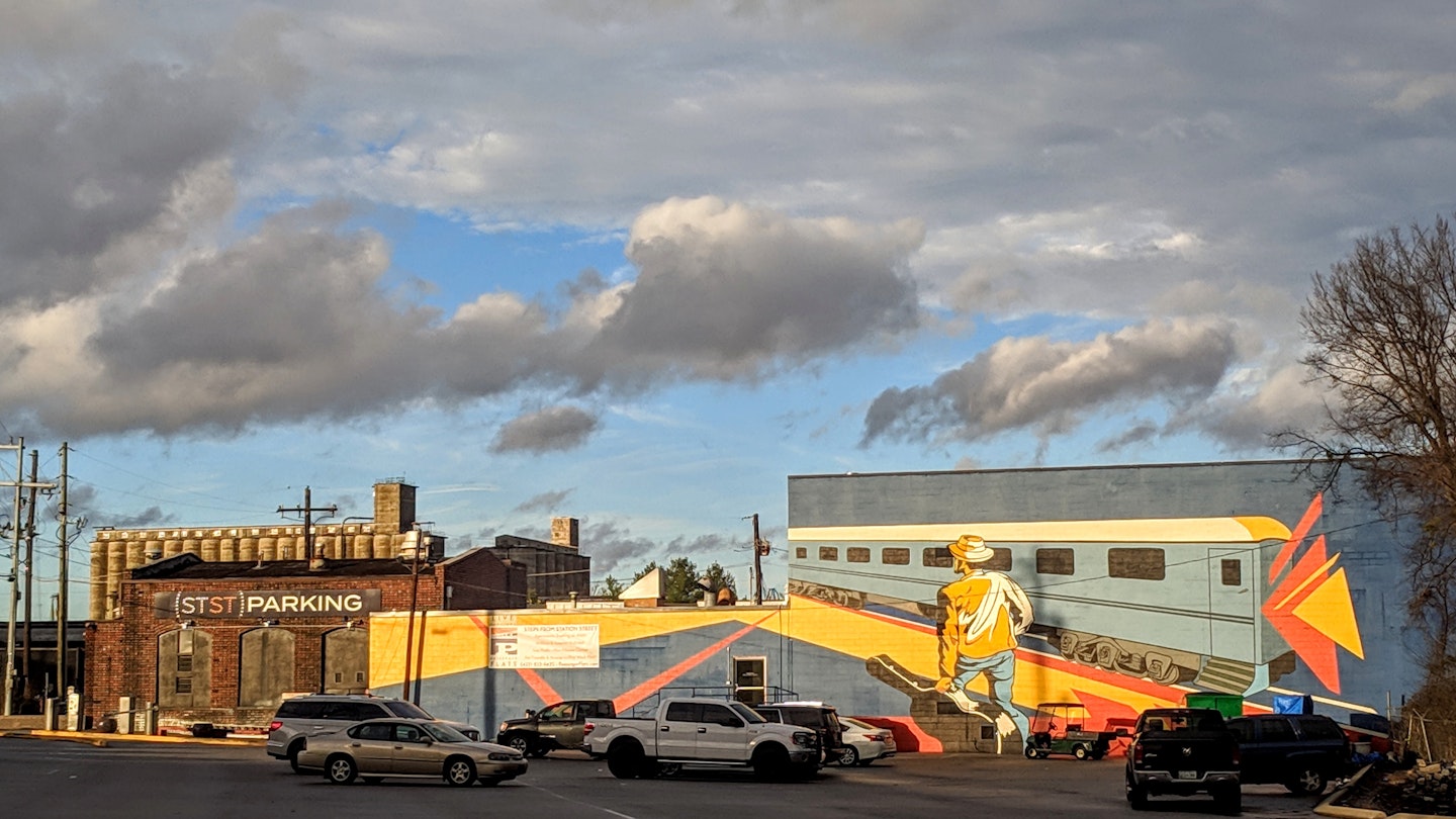
Chattanooga has long been famous as a transportation hub – this is the city, after all, made famous when Glenn Miller and His Orchestra wrote “The Chattanooga Choo Choo” about the city’s train station for the 1941 movie musical Sun Valley Serenade.
However, even though the Choo Choo is now a hotel and hasn’t hosted a locomotive in decades, Chattanooga is still an easy-to-access travel destination thanks to its expanding airport and its location at the nexus of several state and federal highways.
Indeed, Chattanooga was the headquarters of one of the early auto clubs dedicated to building one of the country’s first interstates – the historic Dixie Highway, which ran from Chicago to Miami. It’s still easy to get around by car, but the city’s environmental initiatives include free electric shuttles that connect Chattanooga’s major tourist districts and a slowly expanding bus network. If you’re curious how to navigate Chattanooga while you’re visiting, we have all the details.
By Car
Chattanooga is conveniently located on the Georgia border, approximately two hours from Atlanta, Nashville, Knoxville, and Birmingham. It sits at the intersection of Interstates 75, 24, and 59, along with US Route 27, and State Routes 153 and 319 (known locally as DuPont Parkway).
Some major arteries predate Chattanooga’s founding. For example, State Route 58 (locally known as Amnicola Highway) travels through an area once filled with burial mounds constructed during the Mississippian period by Indigenous tribes who preceded the Cherokee. Additionally, parts of State Route 17, better known as Riverfront Parkway, were part of the Trail of Tears, along which the Cherokee were forcefully relocated to Oklahoma.
The confluence of major highways means it’s fairly quick and easy to navigate to most parts of the city, including the suburbs of Hixson, Harrison, and Ooltewah. Nevertheless, traffic congestion often occurs during rush hours, particularly around the narrow bottleneck known as the Ridge Cut, where I-24 squeezes through Missionary Ridge. Typically, it takes about 10-15 minutes to travel between the city’s more popular central neighborhoods, even when using surface roads.
By Public Transit
Most travelers can benefit from the free electric shuttle service that operates between the North Shore area and downtown, as well as the Southside and St. Elmo neighborhoods. The central hub is easily identifiable, and these shuttles operate every 10-15 minutes from 8 AM to 10:45 PM on weekdays and 9:30 AM to 10:45 PM on weekends.
Chattanooga’s public bus service primarily serves blue-collar commuters, but some routes cater to visitors. Buses are a convenient option for traveling around downtown and nearby neighborhoods, with several lines providing access to attractions.
Notably, key bus routes include route 4, linking Hamilton Place Mall in East Brainerd to downtown, and route 14, which connects the University of Tennessee at Chattanooga campus to local attractions. Additionally, route 28 offers access to the picturesque Tennessee River Park.
For those seeking real-time information, planning routes, and tracking arrivals, the CARTA website offers valuable online tools. Adult one-way fares cost $1.50, while reduced fares apply to seniors, students, and riders with disabilities. Having exact change is essential, as cash fares are required unless using a reusable transit card.
By Bicycle
Chattanooga has prioritized becoming more bike-friendly, constructing additional bike lanes to connect major neighborhoods and improve cyclist safety. Additionally, all CARTA buses are equipped with bike racks, allowing for a combination of public transit and cycling.
Bike Chattanooga, the city’s bike-share program, features 41 stations throughout central areas, offering access passes starting at $8 for 24 hours. Rides under one hour are free, making cycling an economical choice for short trips around town. The Riverwalk, a 16-mile paved pathway, provides a scenic cycling experience along the Tennessee River.
Taxi and Rideshare
While Chattanooga has several local taxi companies, ridesharing through platforms like Uber and Lyft is recommended due to their convenience and affordability compared to larger cities.
Accessible Transit in Chattanooga
Chattanooga is making strides in accessibility, with public transport options catering to travelers with disabilities. All CARTA buses are equipped with wheelchair lifts and ramps. The free electric shuttle system also includes audio announcements to assist passengers.
Although taxi services can be less reliable for accessible rides, ridesharing apps tend to offer better service. Many of the city’s popular districts are navigable for wheelchair users, with Main Street and Broad Street generally offering good accessibility.


