Climbing Toubkal: A Comprehensive Guide to North Africa’s Highest Peak
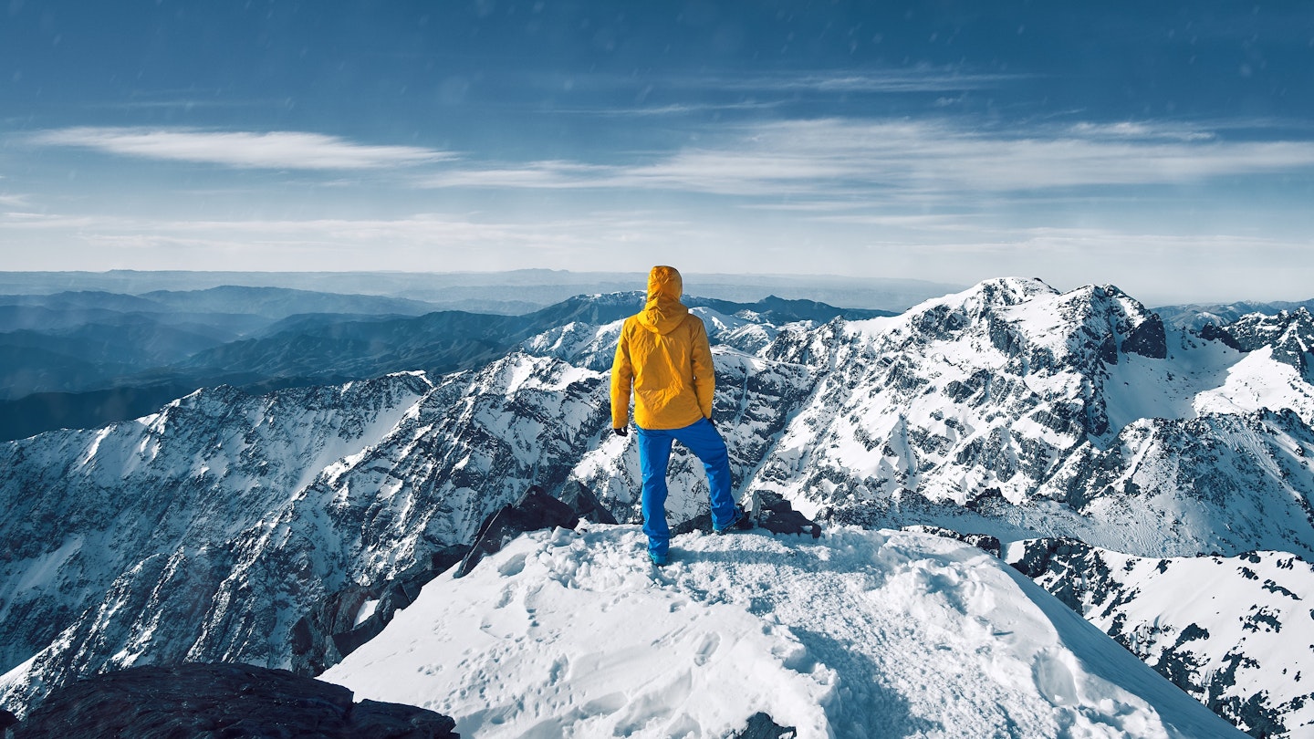
From the summit of Toubkal, North Africa’s highest peak (4167m), stunning views stretch from the city of Marrakesh across the breadth of the High Atlas Mountains and on to the Sahara Desert in the south.
With such compelling vistas, it’s understandable that most mornings of the year a twinkling line of hikers’ headlamps snakes its way to the top of Toubkal; the goal is to complete Morocco’s most popular climb for sunrise before slowly descending back down the rocky slope to base camp and to the villages beyond. Moreover, it’s crucial to be aware of the updated rules for the climb since a tragic incident on the mountain; this guide details the process from start to finish.
Toubkal in the Headlines for All the Wrong Reasons
Long a favorite of trekkers in Morocco, Toubkal made international news for tragic reasons in December 2018 when two young female trekkers were murdered by extremists. Consequently, the mountain reopened with a heightened police presence and a new regulation requiring all hikers to travel with a local guide or porter. Several police checkpoints along the trek will verify both your passport information and that of your local hiking partner.
The Start of Proceedings
The trekking experience starts in the village of Imlil, which has transitioned from a quiet agricultural community to a popular hikers’ hub at the junction of three valleys. Independent travelers can stock up on stove fuel and basic food items here, as well as hire guides and porters. In summer, this often involves a donkey and handler, while in winter, traditional porters make the snowy ascent to base camp.
Climbing through dense walnut forest out of Imlil, trekkers must stop for passport checks at several police checkpoints below Aroumd, an Amazigh (Berber) community rich with traditional architecture. Many trekkers use Aroumd as an alternate base for the mountain, allowing them to relax and immerse themselves in local culture after descending from Toubkal. However, it is advisable to make arrangements in advance to avoid higher prices and potentially inferior service at the police checkpoint.
Climbing Out of Aroumd
From Aroumd, the route climbs gently for the first hour to the Shrine of Sidi Shamharoush (2430m). This local saint’s tomb is still significant for those seeking blessings, especially women hoping to conceive. After passing the shrine and a second police checkpoint, the trail steepens significantly for the remaining climb to the Toubkal Refuge at 3207m.
Touching Down at Toubkal Base Camp
The two mountain huts that constitute Toubkal base camp—CAF’s Nelter Refuge (3207m) and the privately-owned Mouflon Refuge—operate year-round providing shelter for hikers and climbers. Although it is possible to reach Toubkal Peak and return to Marrakesh in one day, the majority of trekkers spend at least one night at base camp in preparation for a summit ascent. Upon arrival, your local guide must register your passport information again with the police before you can relax at either lodge or explore nearby side trails for short hikes.
Summit Morning
Summit morning typically starts early, with most trekkers aiming to reach the peak by sunrise. Since the ascent involves nearly 1000m of vertical gain over just 3.5km, you’ll generally leave at least three hours before dawn. Summer conditions generally make this ascent non-technical; however, winter presents some challenges due to the peak’s exposed face. Many hikers underestimate the necessary rope and ice-axe skills, leading to serious injuries or fatalities.
The Final Push
The sudden elevation gain towards the summit can leave many hikers gasping for air, particularly those who begin their trek from Marrakesh’s lowly 470m elevation. The climb is slow but steady; at such heights, the scenic views widen, and with the growing light, the eastern and western horizons reveal successive rows of mountains. Reaching the top and crossing one final flat stretch, the entire High Atlas spreads out below, from the Tichka Plateau in the west to the Middle Atlas in the east. Windblown and often surprised by summit crowds, most hikers do not linger long on Toubkal before making the slow descent back to base camp and onward to Imlil.
